


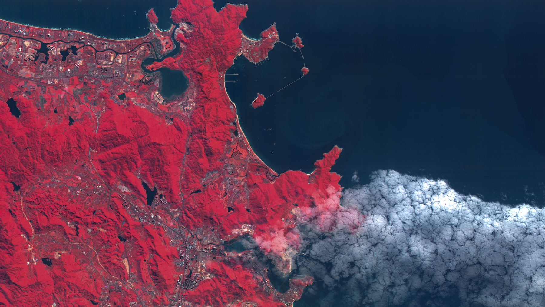
Data for decisive action
Our hyperspectral imagery is helping vital industries reduce risk, optimize resources, and unlock solutions to the world’s toughest challenges.

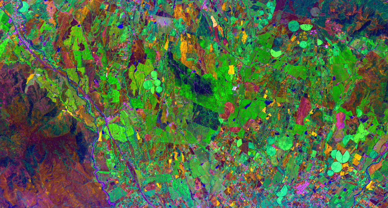
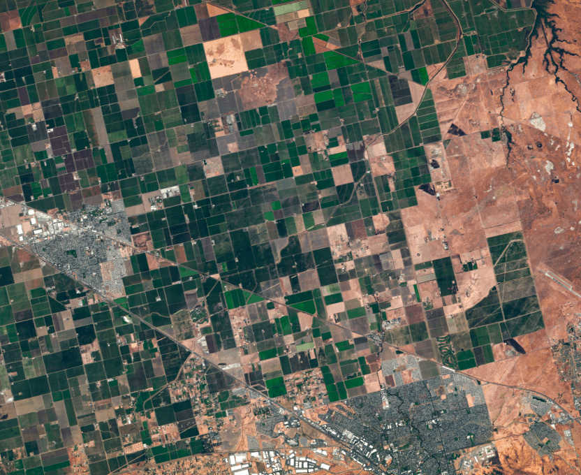
Agriculture
Classify crops with precision, detect disease early, and accurately forecast yields.

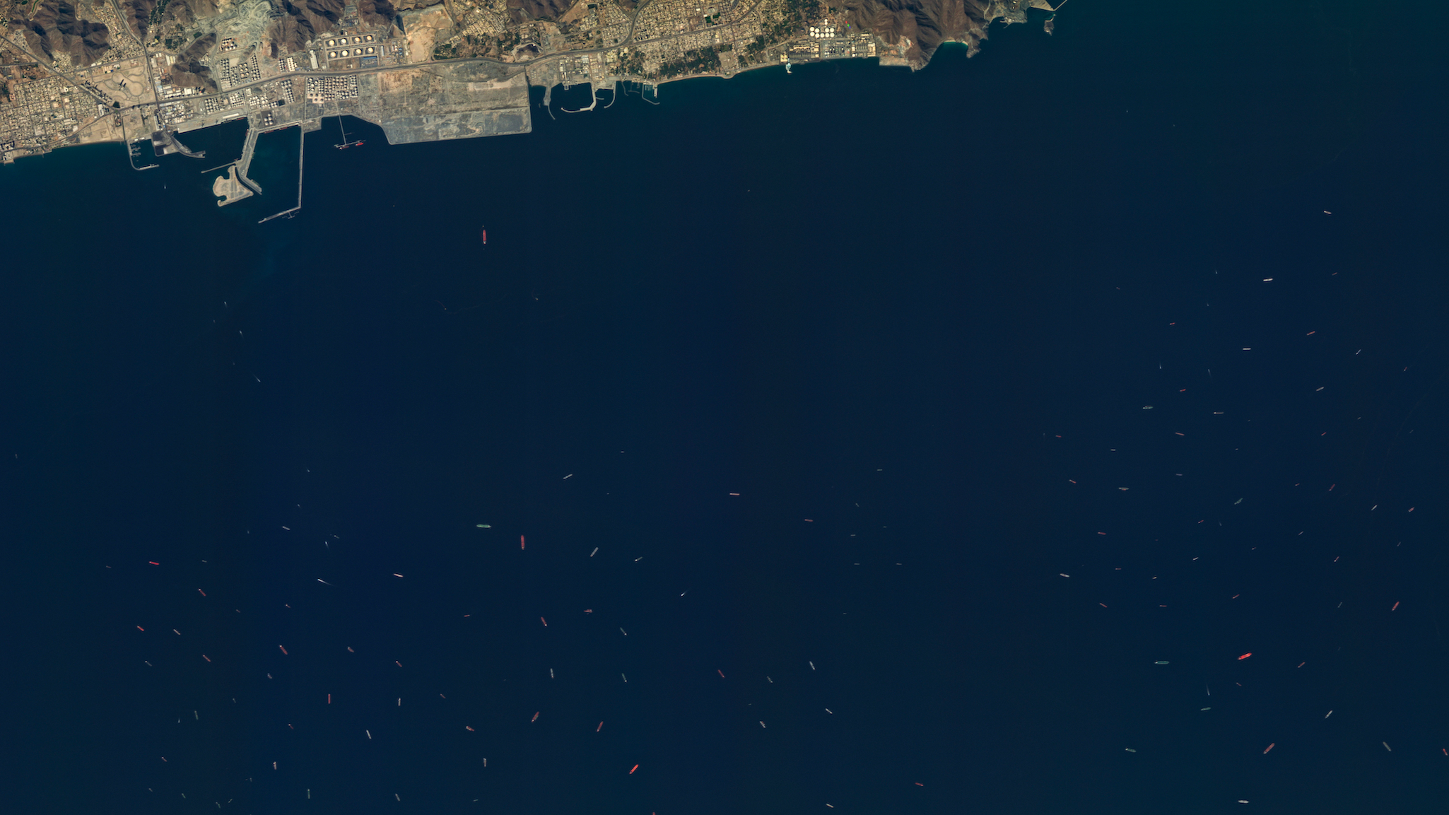
Peace and security
Enhance detection, identification, and monitoring in complex environments.

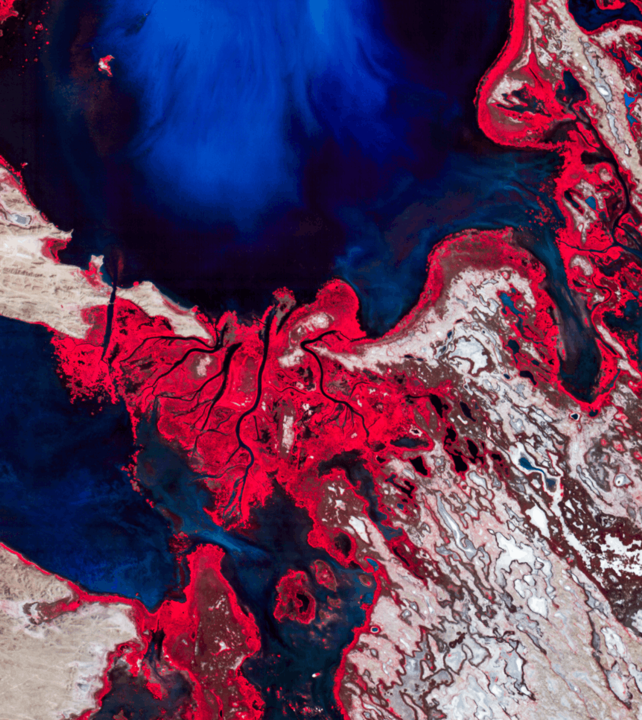
Forestry and ESG
Map species, monitor forest health, and stop threats before they become widespread.

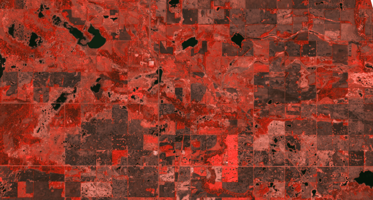
Energy
Rapidly map and analyze resources, reduce infrastructure downtime, and speed remediation.

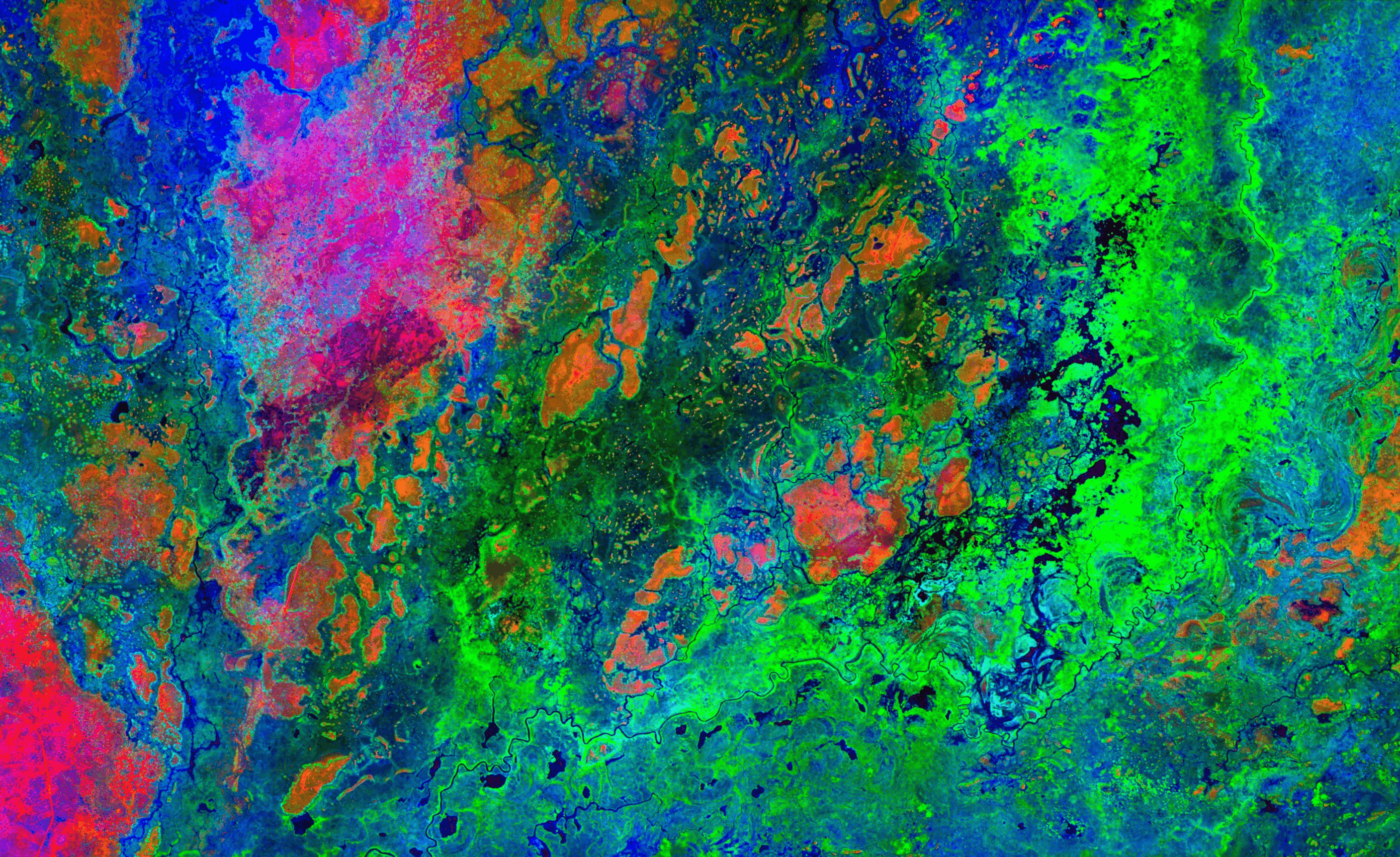
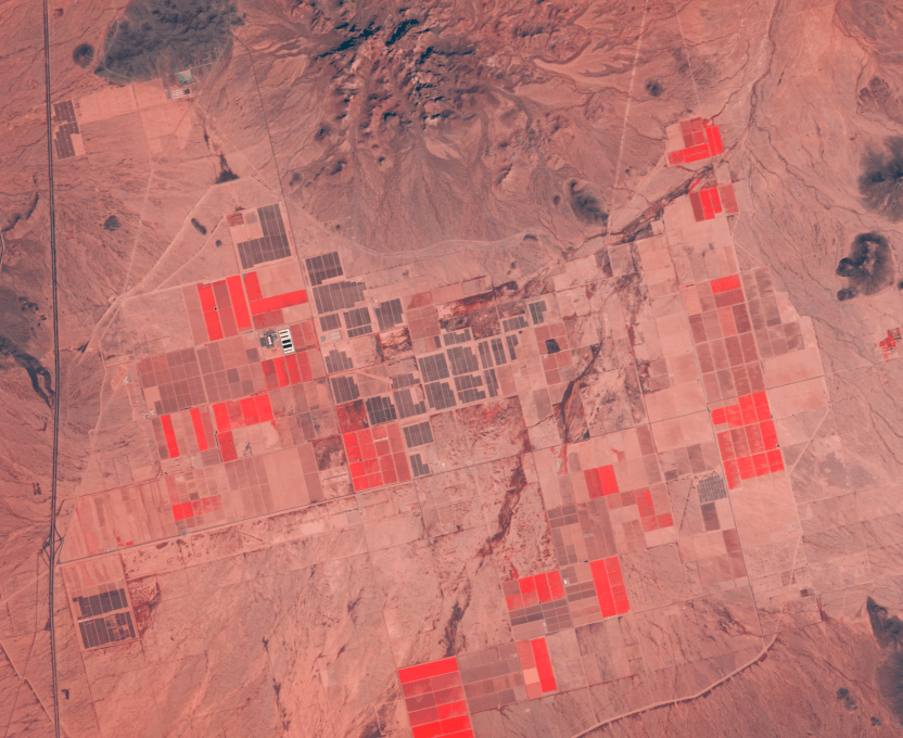
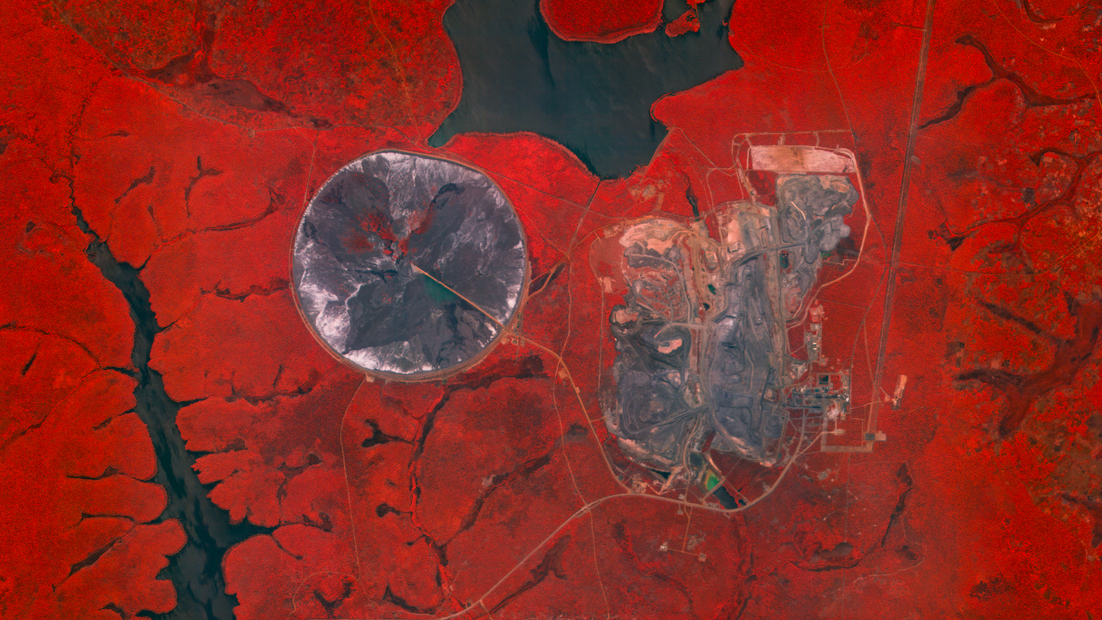
Mining
Reduce costs and improve safety from early exploration to post‑closure rehabilitation.
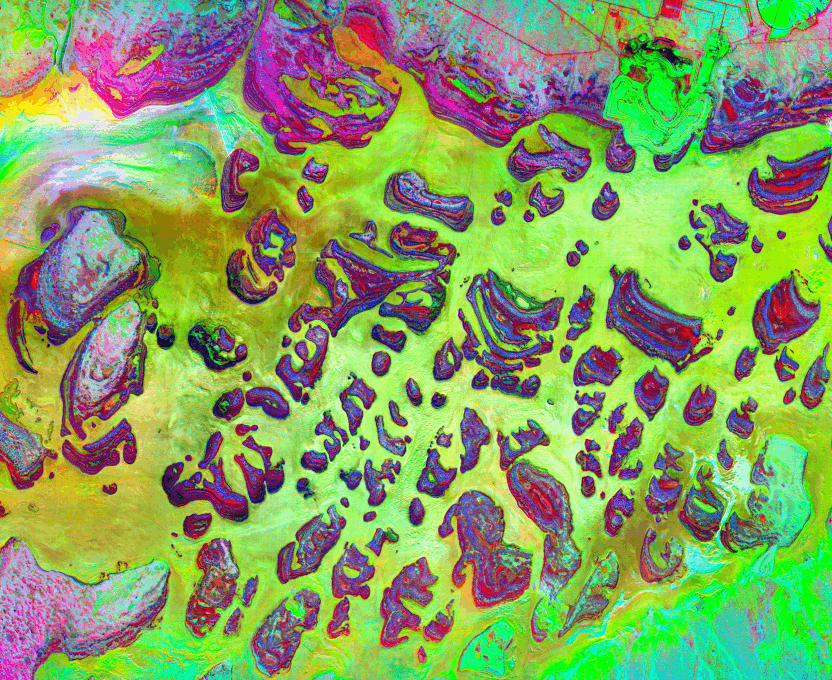
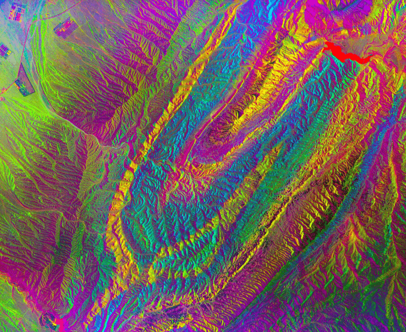
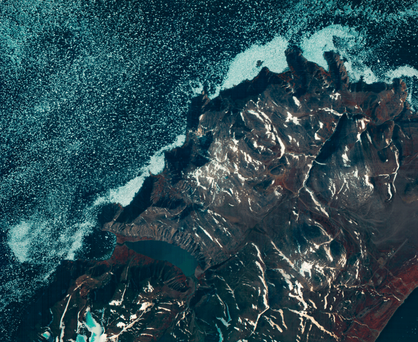
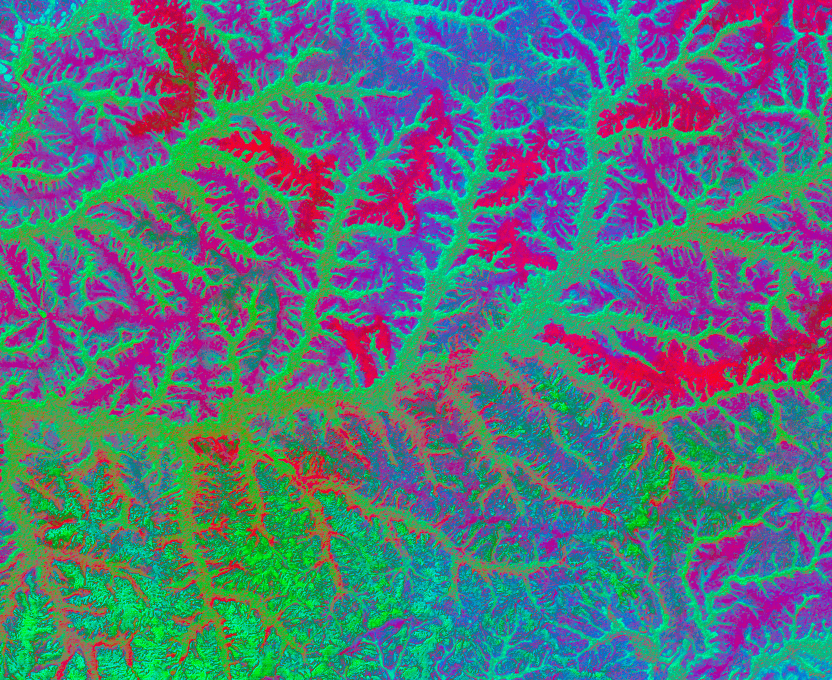
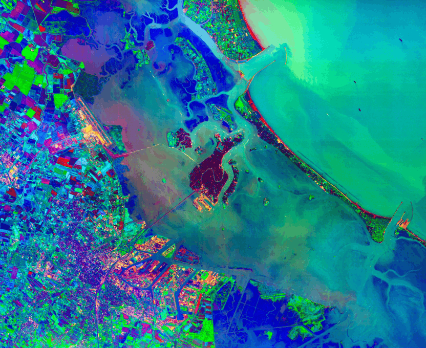
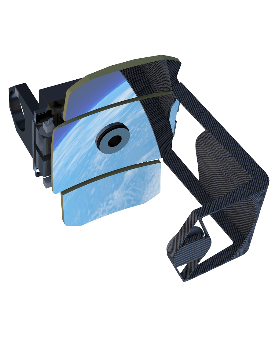
Unprecedented precision
Wyvern’s hyperspectral imaging identifies materials and detect subtle environmental shifts with incredible accuracy.
Industry-leading 5.3 metres ground sampling distance at nadir
31-band VNIR imagery
Research-grade calibration and atmospheric correction
Frequent revisit with global, 5-satellite coverage
Flexible tasking capabilities

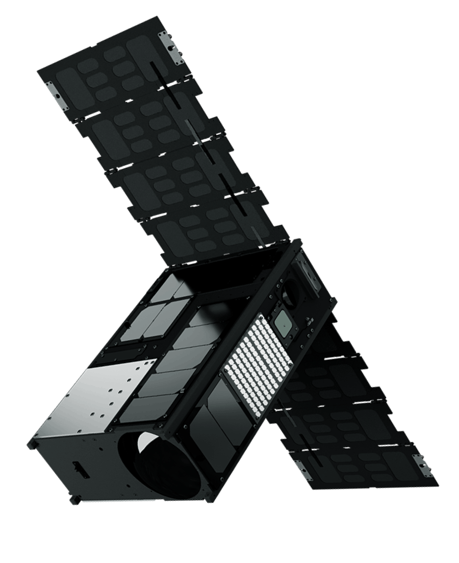
We’re up for the task
Wyvern launched the world’s first commercial hyperspectral satellites in 2023, making the highest-resolution hyperspectral imaging available at scale.
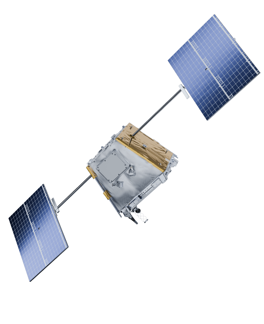
Delivering commercial data now

We’re the only commercial provider with a ready-to-task constellation, and ample imagery available through our growing archive and open data program.
Hyperspectral for all
We focus solely on making the highest-quality hyperspectral imaging accessible and easy to use, empowering more people to build a sustainable future.
Trusted worldwide
Proudly Canadian, organizations depend on us for steady partnership, and reliable, secure data that’s proving its value across the planet.
Trusted by teams shaping the future
The latest from wyvern


Hyperspectral Resources