
Wyvern's Hyperspectral Data Products
Wyvern Hyperspectral data products are designed for delivering precision and accuracy for chemical fingerprinting of Earth’s surface.
Wyvern's Hyperspectral Data Products
Wyvern Hyperspectral data products are designed for delivering precision and accuracy for chemical fingerprinting of Earth’s surface.
The Benefits
High Quality
Wyvern’s hyperspectral imagery data boasts a trifecta of essential features that make it a powerful tool for precise measurements and analysis: high spatial resolution, precise spectral accuracy, and optimal signal-to-noise ratio.
Reliable
The design of Wyvern hyperspectral imaging data delivery is carefully crafted to ensure consistency and reliability, making it an ideal choice for supporting a wide array of analytical products and applications.
Affordable
With our distinct emphasis on data provisioning over analytics, Wyvern can offer more budget-friendly data. Through specialized expertise in collection, aggregation, and delivery, we optimize operations, removing the complexities tied to analytical processes.
Sharable
Wyvern offers flexible sharing options for commercial business use, making it ideal for collaboration with international mission partners. These features ensure seamless data sharing and foster fruitful partnerships.
Discover Wyvern’s Data Products

Wyvern Constellation Tasking
Wyvern offers a comprehensive solution for collecting data and monitoring changes in Earth’s land cover, providing precise and timely information for areas of interest. With accessibility through web requests and an API, our platform is designed to support operational land cover monitoring anywhere in the world.
Wyvern Archive Library
The easiest and fastest way to explore high-quality high-resolution hyperspectral data. Retrieve and assess data collected from 2023 onwards with no tasking requests necessary. Accessible through web request and API.


Wyvern Assured Capacity
Wyvern offers an exclusive solution designed for customer applications with specific or custom data collection requirements. Our platform provides guaranteed imaging capacity, ensuring precise collections during competitive imaging seasons and prioritizing high-priority and emergency areas of interest.
Empower your business with the most insight-rich geospatial imagery data currently available.
Our Data Specifications
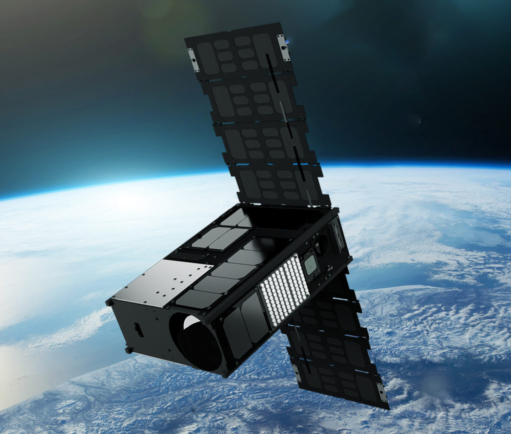
Wyvern hyperspectral sensors on our Dragonette satellites will capture data across many narrow spectral bands, allowing for the specific identification of unique chemical and physical properties of the Earth’s surface. This ability makes hyperspectral imagery a valuable tool for a wide range of site monitoring, mapping, and geospatial intelligence (GEOINT) use-case applications.
With a spatial resolution of 5.3 meters, hyperspectral imagery delivered from our Dragonette constellation will provide detailed information about the Earth’s surface. Processed to Level 1B and delivered in GeoTIFF format, we ensure seamless integration of Wyvern’s Dragonette data into your existing systems, workflows, and processes.
Contact Us
If you’re eager to delve deeper into the realm of hyperspectral data or have any questions about how it can revolutionize your industry, we’re here to assist you. Our team of experts is equipped with extensive knowledge and experience in harnessing the power of hyperspectral technology.