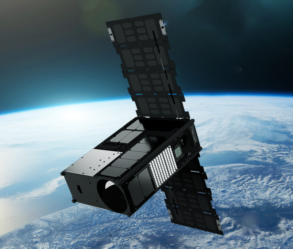
Our First Commercial Satellite
Wyvern’s Dragonette-001 successfully launched from Earth in June, 2023 as the world’s highest resolution hyperspectral satellite. With a spectral range of 500nm to 800nm, and high sq.km of daily capacity, this satellite will be ready to collect commercial hyperspectral data in late 2023.
Our Data Specifications
Wyvern hyperspectral sensors on our Dragonette satellites will capture data across many narrow spectral bands, allowing for the specific identification of unique chemical and physical properties of the Earth’s surface. This ability makes hyperspectral imagery a valuable tool for a wide range of site monitoring, mapping, and geospatial intelligence (GEOINT) use-case applications.
With a spatial resolution of 5.3 meters, hyperspectral imagery delivered from our Dragonette constellation will provide detailed information about the Earth’s surface. Processed to Level 1B and delivered in GeoTIFF format, we ensure seamless integration of Wyvern’s Dragonette data into your existing systems, workflows, and processes.
Contact Us
If you’re eager to delve deeper into the realm of hyperspectral data or have any questions about how it can revolutionize your industry, we’re here to assist you. Our team of experts is equipped with extensive knowledge and experience in harnessing the power of hyperspectral technology.